
GPS Survey
Site control that registers every scan in real-world coordinates.
Learn moreMillimeter-precision 3D point cloud capture for structures and terrain — as-builts, BIM inputs and records you can measure forever.
Our terrestrial scanners fire up to two million points per second, recording geometry, color and reflectivity with millimeter accuracy. Buildings, bridges, plants and rock faces become measurable 3D models.
Use the point cloud directly, or let us model it into BIM-ready geometry, 2D as-builts and clearance analyses — all registered to your site control.
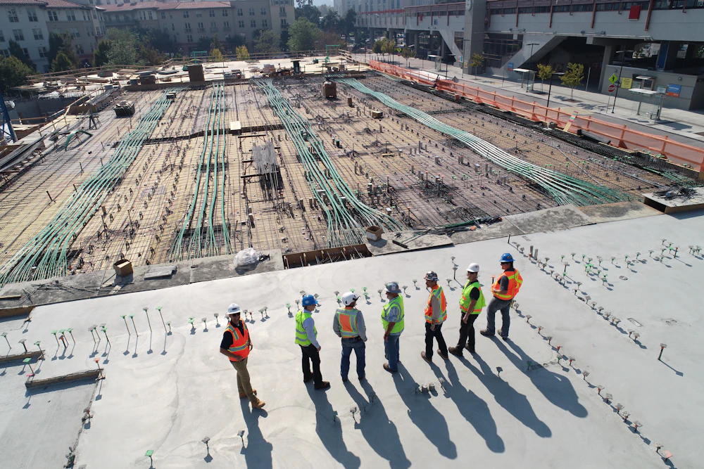
Colorized, unified clouds in E57, RCP or LAS — cleaned, tiled and georeferenced.
Revit models of architecture, structure and MEP traced faithfully from the cloud.
Floor plans, elevations and sections extracted at true scale for renovation teams.
Browser-based virtual site visits so remote stakeholders can measure and mark up.
Setups are planned for full coverage with overlap — no blind spots, no return visits.
Scans are tied to site control with spheres and checkerboards for registration.
Setups are aligned to millimeter residuals and verified against independent checks.
Clouds become BIM, drawings or analyses — reviewed against the raw data before issue.
Site control that registers every scan in real-world coordinates.
Learn moreAerial context for roofs and sites the terrestrial scanner can't see.
Learn morePlan extracts and map sheets drawn from the finished model.
Learn moreSend photos and floor areas. We'll plan the setups and price the model.