
Surveyors Who Treat Every Boundary Like Their Own
Two decades of field craft, a fleet of drones and rovers, and one obsession: measurements your project can rely on.
From Tripods to Point Clouds
Boundarywell began in 2006 with two total stations, a pickup truck and a simple rule: never hand over a number you can't defend. Twenty years on, that rule still governs every boundary peg, contour line and LiDAR tile we deliver.
Today our 50+ licensed surveyors, pilots and geospatial analysts serve landowners, engineers, developers and public agencies — pairing traditional field discipline with UAV mapping, GNSS RTK networks and millimeter laser scanning.
- Licensed & insured in every jurisdiction we operate
- Documented quality-control process
- Continuing education: every surveyor logs 40+ training hours a year
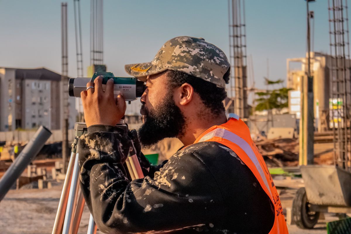

Field Discipline, Lab Precision
Every engagement follows the same certified pipeline: plan the control, capture redundantly, process independently, then verify before anything leaves the office. It is slower than cutting corners — and faster than redoing a failed survey.
- Redundant observations on every critical point — no single-shot measurements
- Independent office checks by a second licensed surveyor
- Deliverables in the formats you already use: CAD, GIS, BIM, PDF
Have ground that needs measuring?
Tell us the acreage, the location and the deadline. A licensed surveyor — not a sales rep — will scope your project and reply within one business day.