
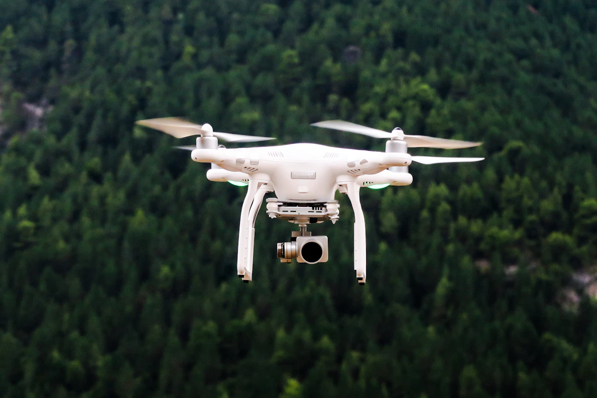
Clients ask us this on nearly every first call: should we fly it or walk it? The honest answer is that drone LiDAR and traditional ground survey aren't rivals — they're tools with different strengths. Choosing well can halve your cost; choosing badly can double it.
Where drone LiDAR wins outright
For sites larger than a few hectares, the math is brutal. A two-person drone crew maps 100+ hectares a day, capturing millions of points with 2–5cm accuracy. Vegetated terrain is LiDAR's party trick: laser pulses slip through canopy to record true ground where photogrammetry sees only treetops. Corridors, mines, landfills and flood plains are all faster, safer and cheaper from the air.
- Large or inaccessible sites where walking every point is impractical
- Vegetated terrain needing true-ground elevation models
- Progress tracking: repeat flights produce change maps, not just photos
- Volumetrics: stockpiles and cut-fill computed from dense surfaces
Where boots on the ground still rule
Drones can't read a faded boundary peg, negotiate with a neighbor, or certify a title. Cadastral surveys, legal demarcation, precise setout and indoor or underground detail all demand total stations, GNSS rovers and licensed judgment. Under heavy tree cover with no sky view, even control points must be traversed in conventionally.
The smart answer is usually both
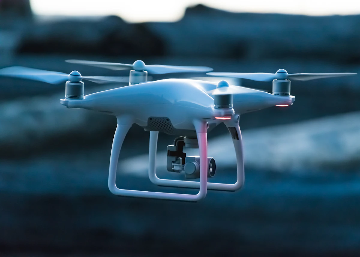
On most Boundarywell projects the two methods share the work: ground control from GNSS anchors the flight, the drone captures the expanse, and total-station crews pick up the legal boundaries, utilities and details the air can't certify. You get aerial speed with ground-legal authority — and one adjusted dataset instead of two competing ones.
Rule of thumb: if the question is "what does the ground look like," fly it. If the question is "where exactly is my legal line," walk it with a licensed surveyor. Still unsure? Send us the site — we'll recommend the mix in plain language, with a fixed price attached.